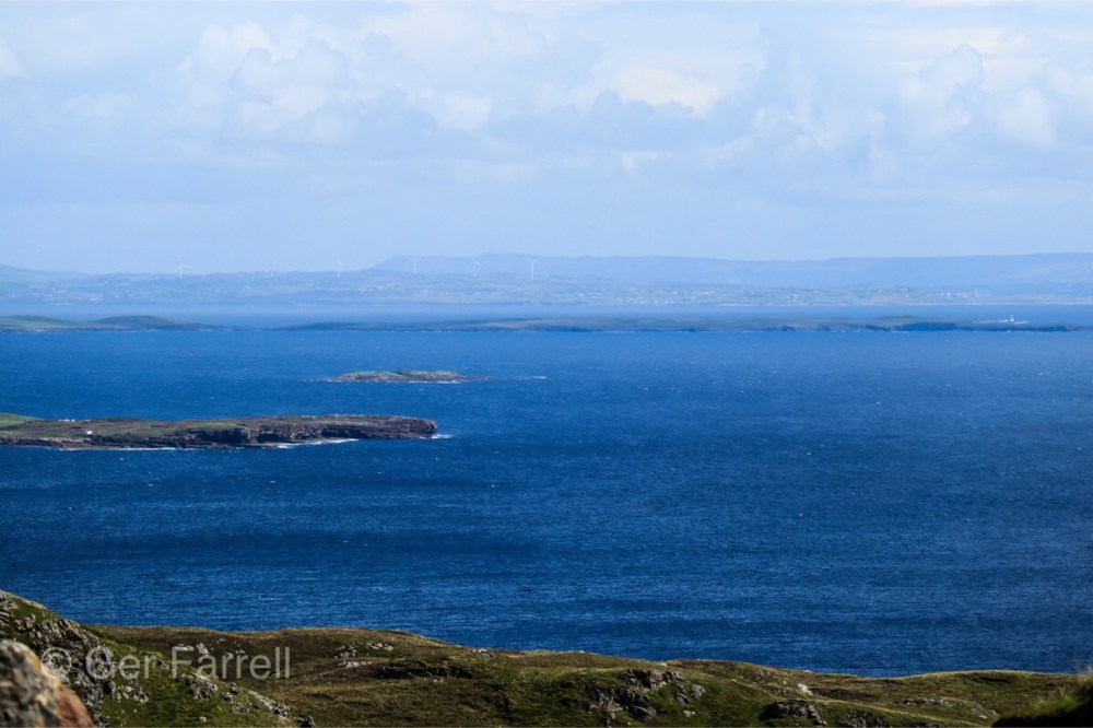
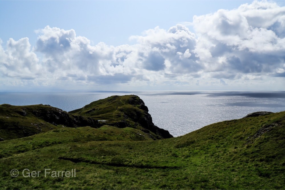
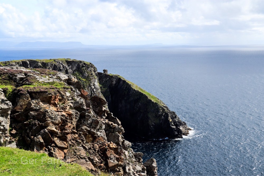
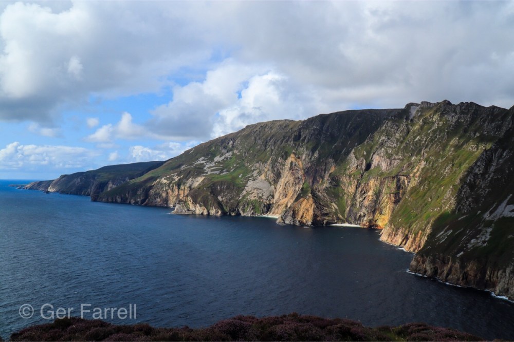
From Glencolmcille it was on to the Slieve League Cliffs which is just like standing on the very edge of the world.
The Cliffs are nearly three times the height of the Cliffs of Moher and from the designated viewing points, an astounding panorama opens up before you. The cliffs stretch towards the horizon and on a clear day you can see right across to Sligo and Leitrim and all the way to the mountains of the Mayo coast. Sheila did tell us we would see America, but we didn’t! To reach the highest point of Slieve League, you must take a narrow pathway to the intimidating One Man’s Pass, but we didn’t take on this route as we had walked from the Visitors Centre all the way up and after some yummy lobster sandbos we headed back down again.
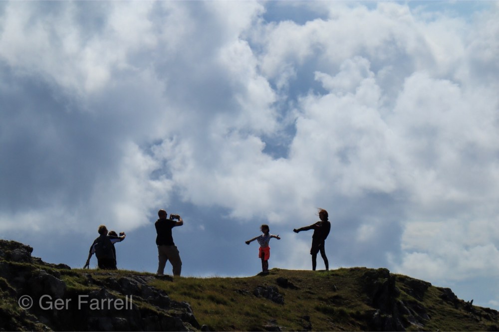
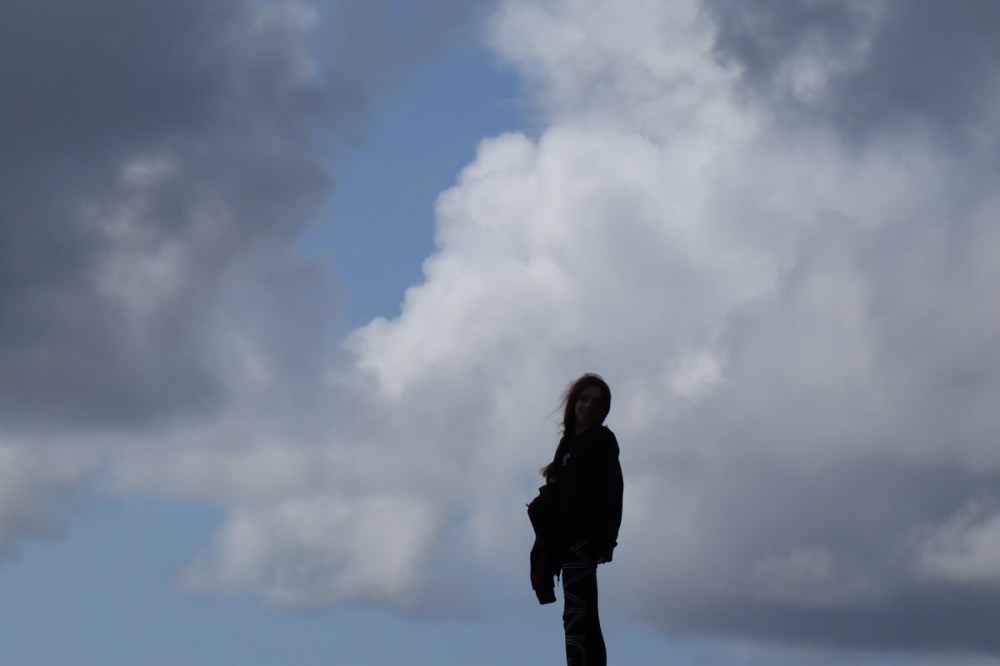
The scenery was spectacular…….

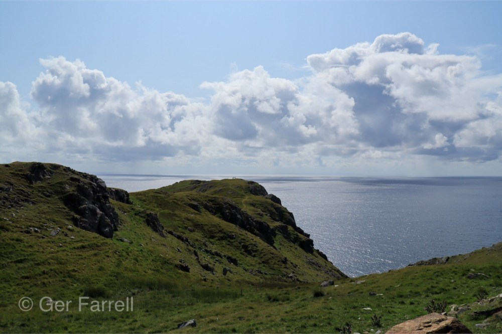

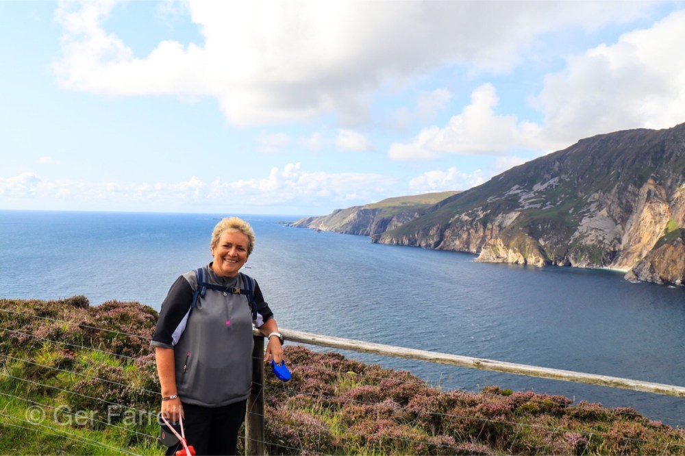

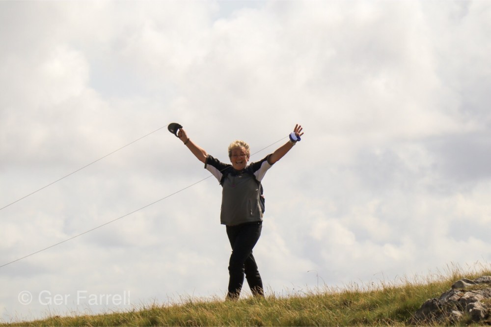
Top of the world Ma!
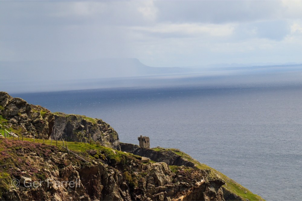
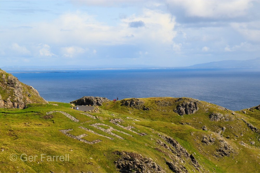
During WW2 the south of Ireland, while neutral, had agreements with the allies, one of which was the Donegal corridor – this was a free fly zone for allied aircraft to fly from Enniskillen in Northern Ireland out over the Atlantic. The word Éire was placed in stone on headlands around Donegal, to act as navigational aid and tell pilots which country they were flying over and below is the one here on Sliabh League. The stones were placed on the ground to spell Éire and painted bright white.
Another great had by all in Donegal!

Great photos, wish was with you guys.😘🤗
LikeLike
You’d love it 😘
LikeLike